Lands of Anaris
A territory cut by the mythical Eume River, in the last European Atlantic forest

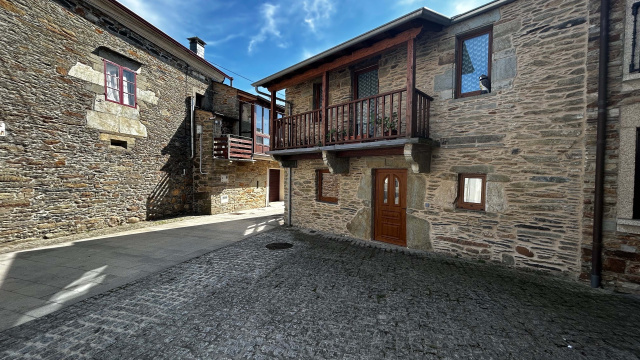
Historic center
The village of As Pontes is located in a natural path of the river Eume. Here some remains of a Roman settlement, probably from a path linking Lucus Augusti with the Atlantic coasts, were found.
There is a reference to Pontes de Eume in a document in 1063, and during the 13th century there are constant references to Pontes de Eume and the first reference to the Concello das Pontes. In the 13th century there is already a village and its territories.
The founding charter of the “Vila” is not kept. We know it was within a great feudal territory in the north of the Kingdom of Galicia, named County of Trastámara. With the fall of the House of Traba, this county is transferred to the crown and the king has the privilege to name the counts of Trastámara.
It will be the king Henry II who gives García Rodríguez de Valcarce the village of As Pontes and its territory in September 1371, in payment for fighting and being loyal to him. This will be authenticated in 1372 by the Count of Trastámara Pedro Enríquez.
Written sources talk about the existence of a castle and wall surrounding the village. The only remain of the castle are written references, which are very vague. It was supposed to be a stone tower within the walls of the village.
From the wall we keep the shape it gave to the village; the old part of the village has the shape of an oval.
From the medieval times, we can see the Ponte dos Ferros, the outline of three streets of the village (together with Rúa Real from gate to gate of the walls) and the old building of the Rúa San Xoán, which was probably a hospital for poor people and pilgrims.


